Blacklead Island
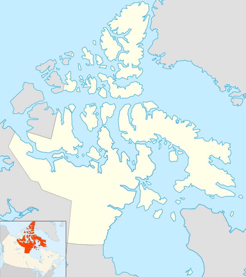 Blacklead Island Location in Nunavut | |
| Geography | |
|---|---|
| Location | Cumberland Sound |
| Coordinates | 64°58′59″N 066°12′00″W / 64.98306°N 66.20000°WCoordinates: 64°58′59″N 066°12′00″W / 64.98306°N 66.20000°W |
| Archipelago | Canadian Arctic Archipelago |
| Area | 2 km2 (0.77 sq mi) |
| Coastline | 7 km (4.3 mi) |
| Administration | |
| Territory | Nunavut |
| Region | Qikiqtaaluk |
| Demographics | |
| Population | Uninhabited |
| Additional information | |
|
Source: Atlas of Canada[1] | |
| Official name | Blacklead Island Whaling Station National Historic Site of Canada |
| Designated | 1985 |
Blacklead Island[2] is a Baffin Island offshore islet located in the Canadian Arctic Archipelago in Nunavut's Qikiqtaaluk Region. It lies in Cumberland Sound, northwest of Kikiktaluk Island, approximately 5 km (3.1 mi) from Harrison Point and 10 km (6.2 mi) from Niante Harbour.
History
The island had been used by the Inuit for whaling. Later used by Europeans, it was known as the Blacklead Island Whaling Station, and was designated a National Historic Site of Canada in 1985.[3][4][5] In 1894 the whaling station was purchased by Mr. C. Noble and offered to Edmund Peck as an Anglican mission.[6][7]
 Inuit standing at outdoor religious service, c. 1919 |
References
- ↑ Blacklead Island at the Atlas of Canada
- ↑ "Blacklead Island". The Columbia Gazetteer of North America. bartleby.com. 2000. Retrieved 2008-09-18.
- ↑ Blacklead Island Whaling Station National Historic Site of Canada. Canadian Register of Historic Places. Retrieved 29 October 2013 .
- ↑ National Historic Sites of Canada System Plan
- ↑ National Historic Sites of Canada System Plan map
- ↑ Edmund Peck (Uqammaq), 1850-1924
- ↑ The Life and Work of E. J. Peck Among the Eskimos by the Rev. Arthur Lewis, M.A.
External links
- Blacklead Island in the Atlas of Canada - Toporama; Natural Resources Canada
| Provinces | |
|---|---|
| Territories | |
| Other countries | |
| |
This article is issued from Wikipedia - version of the 11/27/2016. The text is available under the Creative Commons Attribution/Share Alike but additional terms may apply for the media files.