Brigalow, Queensland
| Brigalow Queensland | |
|---|---|
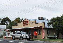 Brigalow General Store | |
 Brigalow | |
| Coordinates | 26°53′S 150°49′E / 26.883°S 150.817°ECoordinates: 26°53′S 150°49′E / 26.883°S 150.817°E |
| Population | 404 (2011 census)[1] |
| Postcode(s) | 4412 |
| Location |
|
| LGA(s) | Western Downs Region |
| State electorate(s) | Warrego |
| Federal Division(s) | Maranoa |
Brigalow is a town in the Darling Downs region of Queensland, Australia. The town is in the Western Downs Region local government area and on the Warrego Highway, 272 kilometres (169 mi) north west of the state capital, Brisbane. At the 2011 census, Brigalow and the surrounding area had a population of 404.[1]
History
Brigalow Post Office opened by November 1912 (a receiving office, originally named Mulga, had been open from 1895) and closed around 1993.[2]
References
| Wikimedia Commons has media related to Brigalow, Queensland. |
- 1 2 Australian Bureau of Statistics (25 October 2007). "Brigalow (Chinchilla Shire) (State Suburb)". 2006 Census QuickStats. Retrieved 2009-03-31.
- ↑ Premier Postal History. "Post Office List". Premier Postal Auctions. Retrieved 10 May 2014.
This article is issued from Wikipedia - version of the 12/16/2015. The text is available under the Creative Commons Attribution/Share Alike but additional terms may apply for the media files.