Chambless, California
| Chambless | |
|---|---|
| Ghost town | |
|
| |
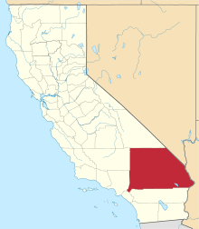
 Chambless Location within the state of California | |
| Coordinates: 34°33′41″N 115°32′41″W / 34.56139°N 115.54472°WCoordinates: 34°33′41″N 115°32′41″W / 34.56139°N 115.54472°W | |
| Country | United States |
| State | California |
| County | San Bernardino |
| Time zone | Pacific (PST) (UTC-8) |
| • Summer (DST) | PDT (UTC-7) |
| ZIP codes | 92319 |
| Area code(s) | 760 |
| GNIS feature ID | 240463[1] |
Chambless is a ghost town in the Mojave Desert of San Bernardino County, California, United States, south of Interstate 40 on the historic Route 66.
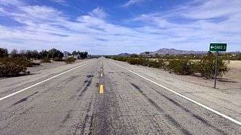
Chambless is east of the Bullion Mountains and Ludlow and ten miles east of Amboy Crater and Amboy, California. The ZIP Code is 92319, and the community is inside area code 760. It is 3 miles north of the railroad town of Cadiz.
History
Chambless, originally known as Chambless Station, is one of the "alphabet towns" located along U.S. Route 66 that provided water towers to service the Atchison, Topeka and Santa Fe Railway. It became a popular motorist and tourist stop for Route 66 travelers but has essentially disappeared since the opening of I-40 in 1973.
In 2005, the population of Chambless was 6 residents and one dog, as posted on a sign entering the town. There is a Historical Landmark Marker just east of the town that explains the history of the alphabet towns.
Also located in Chambless was the 'Roadrunner Cafe' with its large and tall sign, which finally closed its doors in 1995.