Knight Park-Howell Station
|
Howell Station Historic District | |
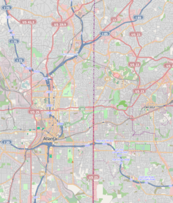   | |
| Location | Roughly bounded by W. Marietta, Rice, Baylor, and Herndon Sts., Niles Cir., and Longley Ave., Atlanta, Georgia |
|---|---|
| Coordinates | 33°47′6″N 84°25′11″W / 33.78500°N 84.41972°WCoordinates: 33°47′6″N 84°25′11″W / 33.78500°N 84.41972°W |
| Built | 1890 |
| Architectural style | Classical Revival, Colonial Revival, Bungalow/Craftsman |
| NRHP Reference # | 97000352 |
| Added to NRHP | April 17, 1997[1] |
Knight Park-Howell Station, also known as Howell Station Historic District or Knight Park Historic District, is a National historic district and neighborhood in West Midtown, Atlanta, Georgia. Almost all buildings in the area were destroyed in the American Civil War, in Sherman's March to the Sea, and all of the buildings in the district were built after 1864.[2] The neighborhood was listed on the National Register of Historic Places in 1997.[1]
References
- 1 2 National Park Service (2008-04-15). "National Register Information System". National Register of Historic Places. National Park Service.
- ↑ "Howell Station". Atlanta: A National Register of Historic Places Travel Itinerary. National Park Service. Retrieved 2008-08-04.
External links
- Howell Station Historic District, a National Park Service travel itinerary webpage
- Howell Station Neighborhood Association
| Topics | |
|---|---|
| Lists by states |
|
| Lists by insular areas | |
| Lists by associated states | |
| Other areas | |
| |

This article is issued from Wikipedia - version of the 11/27/2016. The text is available under the Creative Commons Attribution/Share Alike but additional terms may apply for the media files.