Langeac
| Langeac | ||
|---|---|---|
|
The Allier River and the Saint Gal Collegiate church. | ||
| ||
 Langeac | ||
|
Location within Auvergne-Rhône-Alpes region  Langeac | ||
| Coordinates: 45°06′04″N 3°29′42″E / 45.1011°N 3.495°ECoordinates: 45°06′04″N 3°29′42″E / 45.1011°N 3.495°E | ||
| Country | France | |
| Region | Auvergne-Rhône-Alpes | |
| Department | Haute-Loire | |
| Arrondissement | Brioude | |
| Canton | Langeac | |
| Government | ||
| • Mayor (2008–2014) | Marie-Thérèse Roubaud | |
| Area1 | 33.94 km2 (13.10 sq mi) | |
| Population (2006)2 | 3,943 | |
| • Density | 120/km2 (300/sq mi) | |
| Time zone | CET (UTC+1) | |
| • Summer (DST) | CEST (UTC+2) | |
| INSEE/Postal code | 43112 / 43300 | |
| Elevation | 488–951 m (1,601–3,120 ft) | |
|
1 French Land Register data, which excludes lakes, ponds, glaciers > 1 km² (0.386 sq mi or 247 acres) and river estuaries. 2 Population without double counting: residents of multiple communes (e.g., students and military personnel) only counted once. | ||


Langeac is a commune in the Haute-Loire department in south-central France. Inhabitants are called Langeadois and Langeadoises.
It is located around 30 km west of Le Puy-en-Velay, and around 100 km south-west of Lyon.
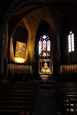
church interior
See also
| Wikimedia Commons has media related to Langeac. |
This article is issued from Wikipedia - version of the 10/30/2014. The text is available under the Creative Commons Attribution/Share Alike but additional terms may apply for the media files.