Ma'arin
"Merîn" redirects here. For the town in the Czech Republic, see Měřín.
| Ma'arin معرين Merîn | |
|---|---|
| Village | |
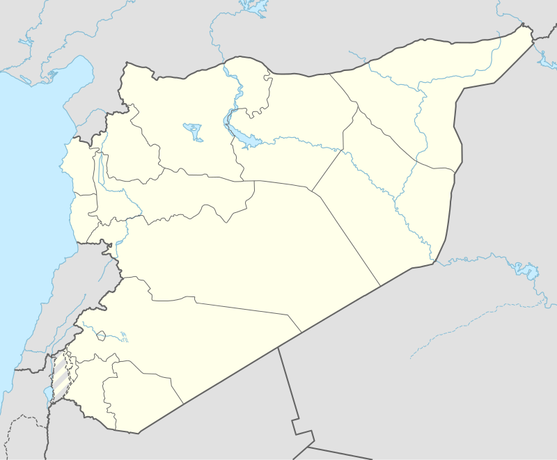 Ma'arin Location of Ma'arin in Syria | |
| Coordinates: 36°37′13″N 37°01′45″E / 36.6203°N 37.0292°ECoordinates: 36°37′13″N 37°01′45″E / 36.6203°N 37.0292°E | |
| Country |
|
| Governorate | Aleppo |
| District | Azaz |
| Subdistrict | Azaz |
| Population (2004)[1] | 334 |
| Time zone | EET (UTC+2) |
| • Summer (DST) | EEST (UTC+3) |
| Geocode | C1574 |
Ma'arin (Arabic: معرين; Kurdish: Merîn) is a village in northern Aleppo Governorate, northwestern Syria. It is located 3 kilometres (1.9 mi) north of Azaz at the foot of Mount Barsa, 40 km (25 mi) north of the city of Aleppo, and 4 km (2.5 mi) south of the border to the Turkish province of Kilis.
The village administratively belongs to Nahiya Azaz in Azaz District. Nearby localities include Yazebax at the opposite side of Mount Barsa, 4 km (2.5 mi) to the north, and al-Salameh 4 km (2.5 mi) to the east. In the 2004 census, Ma'arin had a population of 334.[1]
References
- 1 2 "2004 Census Data for Nahiya Azaz" (in Arabic). Syrian Central Bureau of Statistics. Retrieved 15 October 2015. Also available in English: UN OCHA. "2004 Census Data". Humanitarian Data Exchange. Retrieved 4 December 2015.
Capital: Aleppo | ||||||||
|  | |||||||
|
| ||||||||
| ||||||||
| ||||||||
| ||||||||
| ||||||||
This article is issued from Wikipedia - version of the 9/8/2016. The text is available under the Creative Commons Attribution/Share Alike but additional terms may apply for the media files.