Mount Hector (Alberta)
| Mount Hector | |
|---|---|
 | |
| Highest point | |
| Elevation | 3,394 m (11,135 ft) [1] |
| Prominence |
1,759 m (5,771 ft) [1] (Kicking Horse Pass) |
| Listing | |
| Coordinates | 51°34′24″N 116°15′30″W / 51.57333°N 116.25833°WCoordinates: 51°34′24″N 116°15′30″W / 51.57333°N 116.25833°W [1] |
| Geography | |
| Parent range | Canadian Rockies |
| Topo map | NTS 82N/09 |
| Climbing | |
| First ascent | 1895 |
| Easiest route | rock/snow/glacier climb |

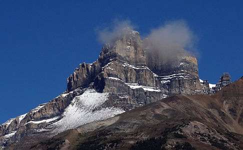
Mount Hector is a mountain in Banff National Park, Canada. The mountain was named in 1884 by George M. Dawson after James Hector, a geologist on the Palliser Expedition. The mountain is located beside the Icefields Parkway, 17 km (11 mi) north of Lake Louise.
The first ascent was made in 1895 by Philip S. Abbot, Charles Fay and Charles S. Thompson.
See also
- List of Ultras of North America
- Mountain peaks of Canada
- Mountain peaks of North America
- Mountain peaks of the Rocky Mountains
- Rocky Mountains
References
- 1 2 3 "British Columbia and Alberta: The Ultra-Prominence Page". Peaklist.org. Retrieved 2012-12-23.
External links
This article is issued from Wikipedia - version of the 1/18/2016. The text is available under the Creative Commons Attribution/Share Alike but additional terms may apply for the media files.