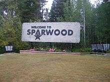
Sparwood
| Sparwood | |
|---|---|
| District municipality | |
| District of Sparwood[1] | |
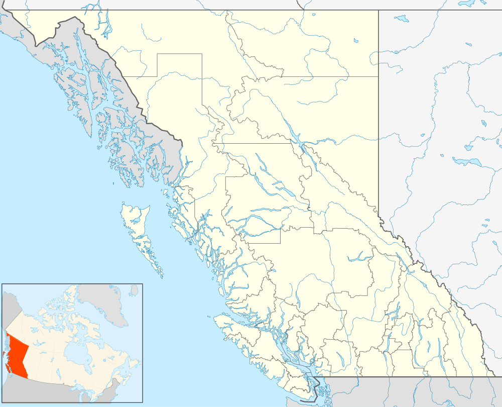
 Sparwood Location of Sparwood in British Columbia | |
| Coordinates: 49°43′56″N 114°53′13″W / 49.73222°N 114.88694°W | |
| Country | Canada |
| Province | British Columbia |
| Government[2] | |
| • Mayor | Cal McDougall |
| • Governing body | Sparwood council |
| • MP | Wayne Stetski |
| • MLA | Bill Bennett |
| Area | |
| • Total | 191.01 km2 (73.75 sq mi) |
| Elevation | 1,140 m (3,740 ft) |
| Population (2011) | |
| • Total | 4,200 |
| Time zone | Mountain Standard (MST) (UTC-7) |
| Area code(s) | 250 / 778 / 236 |
| Highways |
|
Sparwood is a district municipality in the Canadian Province of British Columbia. It is the second largest community on the Elk River.
Located approximately 30 kilometers from Fernie, the District Municipality of Sparwood has approximately 4200 residents. Sparwood is quite large for its population, taking up an area of 191.01 square kilometers and incorporating the local coal mines.
In the late 1800s, there was a railroad stop known as Sparwood, which was so named because of the trees from this area being shipped to the Coast for manufacturing SPARS for ocean vessels. [3]
The barn scenes from Disney's 1985 film The Journey of Natty Gann were filmed here. Sparwood is also home to the 2011 B.C provincial champion boys snowboarding team.(http://www.thefreepress.ca/sports/121650634.html)

Economy
The local economy is heavily dependent on coal mining, one of British Columbia's primary industries. A large part of the population either works in the mines or as tradesmen and labourers in related support industries, such as trucking or as mechanics. Logging is another important industry.
Sparwood/Elk Valley Airport is the local airport for general aviation; airlines provide service to Cranbrook/Canadian Rockies International Airport.
Sparwood was formed on May 12, 1966 accepting people from the nearby towns of Michel, Natal and Middletown (an urban renewal). Since the beginning of Sparwood, it has experienced many ups and downs in the primary industry (coal mining).
Attractions
Sparwood promotes itself extensively as the home of the Terex Titan, at one time the largest truck in the world. The green Titan, in service at Sparwood between 1978 and 1991, stands a few yards from the Crowsnest Highway where it can attract the attention of tourists and travelers. The adjacent tourist information centre serves visitors to the district municipality and the wider area.
Sparwood is distinguished by mural art which depicts something of the history of the former Michel-Natal mining communities.
Demographics
Sparwood has a population of approximately 4200 residents, with a population density of approximately 21.5 per square kilometer.
Education
There are two public schools in Sparwood; Frank J Mitchell which is an Elementary School and the new Sparwood Secondary School. These schools are operated by School District 5 Southeast Kootenay which is based in Cranbrook.
Climate
| Climate data for Sparwood | |||||||||||||
|---|---|---|---|---|---|---|---|---|---|---|---|---|---|
| Month | Jan | Feb | Mar | Apr | May | Jun | Jul | Aug | Sep | Oct | Nov | Dec | Year |
| Record high °C (°F) | 11.9 (53.4) |
13.8 (56.8) |
20.6 (69.1) |
25.6 (78.1) |
31.3 (88.3) |
32.5 (90.5) |
34.9 (94.8) |
36.5 (97.7) |
34.2 (93.6) |
27.2 (81) |
16.9 (62.4) |
10.5 (50.9) |
36.5 (97.7) |
| Average high °C (°F) | −2.2 (28) |
0.5 (32.9) |
5.4 (41.7) |
10.9 (51.6) |
15.9 (60.6) |
19.6 (67.3) |
23.8 (74.8) |
24.2 (75.6) |
18.2 (64.8) |
10.7 (51.3) |
1.7 (35.1) |
−3.4 (25.9) |
10.4 (50.7) |
| Daily mean °C (°F) | −6.5 (20.3) |
−4.5 (23.9) |
0.2 (32.4) |
4.8 (40.6) |
9.1 (48.4) |
12.7 (54.9) |
15.8 (60.4) |
15.5 (59.9) |
10.5 (50.9) |
4.8 (40.6) |
−2 (28) |
−7.3 (18.9) |
4.4 (39.9) |
| Average low °C (°F) | −10.7 (12.7) |
−9.6 (14.7) |
−5.1 (22.8) |
−1.3 (29.7) |
2.3 (36.1) |
5.8 (42.4) |
7.7 (45.9) |
6.7 (44.1) |
2.9 (37.2) |
−1.1 (30) |
−5.6 (21.9) |
−11.3 (11.7) |
−1.6 (29.1) |
| Record low °C (°F) | −37.9 (−36.2) |
−34.6 (−30.3) |
−29.9 (−21.8) |
−15 (5) |
−6.7 (19.9) |
−3.3 (26.1) |
0 (32) |
−3.5 (25.7) |
−8.5 (16.7) |
−22.2 (−8) |
−34 (−29) |
−39.8 (−39.6) |
−39.8 (−39.6) |
| Average precipitation mm (inches) | 53.9 (2.122) |
40.9 (1.61) |
44.2 (1.74) |
41.4 (1.63) |
60.4 (2.378) |
69.3 (2.728) |
46.8 (1.843) |
34.9 (1.374) |
47.4 (1.866) |
48.8 (1.921) |
72.1 (2.839) |
53.4 (2.102) |
613.3 (24.146) |
| Average rainfall mm (inches) | 17.3 (0.681) |
12.4 (0.488) |
17 (0.67) |
27.9 (1.098) |
52 (2.05) |
67.7 (2.665) |
46.8 (1.843) |
34.8 (1.37) |
43.4 (1.709) |
39.6 (1.559) |
39.1 (1.539) |
13.2 (0.52) |
411 (16.18) |
| Average snowfall cm (inches) | 50.4 (19.84) |
37 (14.6) |
31.7 (12.48) |
17.4 (6.85) |
8.6 (3.39) |
1.8 (0.71) |
0 (0) |
0.1 (0.04) |
4.2 (1.65) |
11.3 (4.45) |
47.3 (18.62) |
54.2 (21.34) |
264 (103.9) |
| Source: [4] | |||||||||||||
Local media
Newspapers
- Fernie Free Press - Weekly Paper
- Elk Valley Herald - Weekly Paper
- Kootenay News Advertiser - Weekly Paper
- The Valley - Weekly Paper
- Fernie Fix - Monthly Glossy Magazine
- Black Rock News - Semimonthly
Radio stations
- 99.1 FM - CJDR, Rock
- 92.7 FM - CFBZ, Country
- 97.7 FM - CBTN, CBC
- Mixitup FM - MIUFM, Pop
- 107.1 Summit 107 Music variety
Cable television stations
Notable people
The following people were born in Sparwood:
- Daryl Boyle (born 1987), professional ice hockey player
- Michelle Loughery (born 1961), muralist
- Jace Coyle, professional ice hockey player for the Sheffield Steelers
See also
- Fernie Ghostriders
- Elk River
- Elk Valley
- Kootenay Ice
- Regional District of East Kootenay#Municipalities
References
- ↑ "British Columbia Regional Districts, Municipalities, Corporate Name, Date of Incorporation and Postal Address" (XLS). British Columbia Ministry of Communities, Sport and Cultural Development. Retrieved November 2, 2014.
- ↑ Sparwood. Mayor and council
- ↑ http://apps.gov.bc.ca/pub/bcgnws/names/21659.html
- ↑ "Calculation Information for 1981 to 2010 Canadian Normals Data". Environment Canada. Retrieved July 9, 2013.
External links
| Wikimedia Commons has media related to Sparwood. |
- District of Sparwood homepage.
Coordinates: 49°43′59″N 114°53′07″W / 49.73306°N 114.88528°W
