Bhiwani Airport
| {{{name}}} भिवानी हवाई अड्डा Bhiwani Aviation Club Bhiwani Flying Club | |||||||||||
|---|---|---|---|---|---|---|---|---|---|---|---|
| IATA: none – ICAO: VIBW | |||||||||||
| Summary | |||||||||||
| Airport type | Public | ||||||||||
| Owner | Civil Aviation Department, Haryana | ||||||||||
| Operator | Haryana Institute of Civil Aviation (not used currently) | ||||||||||
| Location | Bhiwani, Haryana | ||||||||||
| Elevation AMSL | 738 ft / 225 m | ||||||||||
| Coordinates | 28°50′02″N 76°10′43″E / 28.83389°N 76.17861°ECoordinates: 28°50′02″N 76°10′43″E / 28.83389°N 76.17861°E | ||||||||||
| Map | |||||||||||
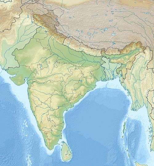
 VIBW Location of airport in India | |||||||||||
| Runways | |||||||||||
| |||||||||||
Bhiwani Airport (ICAO: VIBW), also called Bhiwani Air Strip, is a public airport adjacent to Gujrani village in the Bhiwani district of the Indian state of Haryana.[2]
History
On 31 July, 2013, the Chief Minister of Haryana announced that the Government of Haryana had applied for an expansion of the civilian airports namely Hisar Airport, Karnal Airport, Bhiwani Airport, Pinjore Airport and Narnaul Airport. Approval was granted by the central government for plans of the Hisar Domestic Airport and Karnal Domestic Airport. Discussions with the central government also considered setting up an additional cargo airport in the state.[3][4][5][6]
In July 2014, a Right to Information (RTI) request revealed that the Directorate General of Civil Aviation (India) (DGCA) had never received a formal proposal from the Congress Government of Haryana and there were no plans to upgrade the airport.[7]
Flights
Currently, the airport has no scheduled commercial flight operations. The Haryana Institute of Civil Aviation (HICA) does not offer flying training nor preparation courses.
Runways
Bhiwani Airport has two 3,500 feet (1,100 m) asphalt runways at an elevation of 738 feet (225 m).[8]
- Runway 12: Heading: 119; Length: 3,500 feet (1,100 m); asphalt
- Runway 30: Heading: 299; Length: 3,500 feet (1,100 m); asphalt
References
- ↑ "World Airport Codes". world-airport-codes.com.
- ↑ "Bhiwani Airport Map". maplandia.com.
- ↑ "The Tribune, Chandigarh, India - Main News". tribuneindia.com.
- ↑ "Punjab News Live, Headlines, Channel Live, Online, Live - Sikh News TWO new airports to be set up in Hisar and Karnal - Hooda - City Air News". cityairnews.com.
- ↑ "Center government okayed civil airports at Hisar and Karnal". http://www.hindustantimes.com/. Archived from the original on 2013-08-07. External link in
|work=(help) - ↑ http://www.gspan1.com/thread-159738.html
- ↑ "RTI query nails Haryana's claims about airports at Karnal, Hisar". The Times of India.
- ↑ "IN, Bhiwani Airport : Kickass Database". i-tk.com.