Meherpur District
| Meherpur মেহেরপুর | |
|---|---|
| District | |
 Location of Meherpur in Bangladesh | |
| Coordinates: BD 23°45′N 88°42′E / 23.75°N 88.70°ECoordinates: BD 23°45′N 88°42′E / 23.75°N 88.70°E | |
| Country |
|
| Division | Khulna Division |
| Area | |
| • Total | 716.08 km2 (276.48 sq mi) |
| Population (2011 census) | |
| • Total | 655,392 |
| • Density | 920/km2 (2,400/sq mi) |
| Time zone | BST (UTC+6) |
| Postal code | 7100 |
Meherpur (Bengali: মেহেরপুর জেলা, Meherpur Jela also Meherpur Zila) is a district in South-western Bangladesh.[1]
Location
Meherpur District has an area of 716.08 km2. It is bounded by Kushtia District and West Bengal of India on the north, Chuadanga District and West Bengal on the south, Chuadanga and Kushtia districts on the east, and West Bengal on the west.
History
Meherpur is a historical district of Bangladesh for the fact that the Proclamation of Independence was solemnly made at the village Baidyanathtola (now Mujibnagar), on 17 April 1971 of this district.[2] The first provisional government of Bangladesh was born here under the leadership of Tajuddin Ahmed. After that day on 18 April 1971, the Pak army killed 8 persons at village Amjhupi.[1]
Subdivisions
Meherpur district is divided into three upazilas, Gangni Upazila, Meherpur Sadar Upazila and Mujibnagar Upazila.
See also
References
| Wikimedia Commons has media related to Meherpur District. |
- 1 2 Md Abu Hasan Farooque (2012). "Meherpur District". In Sirajul Islam and Ahmed A. Jamal. Banglapedia: National Encyclopedia of Bangladesh (Second ed.). Asiatic Society of Bangladesh.
- ↑ Sajahan Miah (2012). "Proclamation of Independence". In Sirajul Islam and Ahmed A. Jamal. Banglapedia: National Encyclopedia of Bangladesh (Second ed.). Asiatic Society of Bangladesh.
| Upazila/Thana: | ||
|---|---|---|
| Barisal Division | 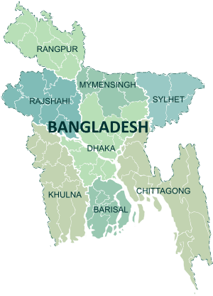 | |
|---|---|---|
| Chittagong Division | ||
| Dhaka Division | ||
| Khulna Division | ||
| Mymensingh Division | ||
| Rajshahi Division | ||
| Rangpur Division | ||
| Sylhet Division | ||