Villiers-le-Mahieu
| Villiers-le-Mahieu | |
|---|---|
|
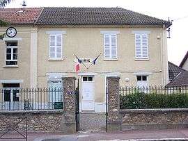
Town hall | |
 Villiers-le-Mahieu | |
|
Location within Île-de-France region  Villiers-le-Mahieu | |
| Coordinates: 48°51′38″N 1°46′24″E / 48.8606°N 1.7733°ECoordinates: 48°51′38″N 1°46′24″E / 48.8606°N 1.7733°E | |
| Country | France |
| Region | Île-de-France |
| Department | Yvelines |
| Arrondissement | Rambouillet |
| Canton | Montfort-l'Amaury |
| Government | |
| • Mayor (2008–2014) | Frédéric Faré |
| Area1 | 6.77 km2 (2.61 sq mi) |
| Population (2010)2 | 704 |
| • Density | 100/km2 (270/sq mi) |
| Time zone | CET (UTC+1) |
| • Summer (DST) | CEST (UTC+2) |
| INSEE/Postal code | 78681 / 78770 |
| Elevation |
53–169 m (174–554 ft) (avg. 127 m or 417 ft) |
|
1 French Land Register data, which excludes lakes, ponds, glaciers > 1 km² (0.386 sq mi or 247 acres) and river estuaries. 2 Population without double counting: residents of multiple communes (e.g., students and military personnel) only counted once. | |
Villiers-le-Mahieu is a commune in the Yvelines département in the Île-de-France in north-central France.
Monuments
- Château de Villiers-le-Mahieu: 13th century castle, rebuilt in the 17th century and now a luxury hotel.
See also
References
| Wikimedia Commons has media related to Villiers-le-Mahieu. |
This article is issued from Wikipedia - version of the 11/1/2014. The text is available under the Creative Commons Attribution/Share Alike but additional terms may apply for the media files.