Wickatunk, New Jersey
| Wickatunk, New Jersey | |
|---|---|
| Unincorporated community | |
|
Wickatunk from Pleasant Valley Road approaching Route 79 | |
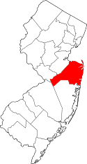
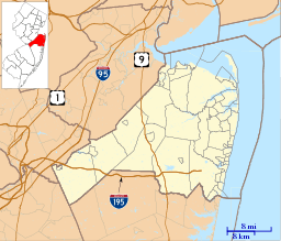 Wickatunk, New Jersey 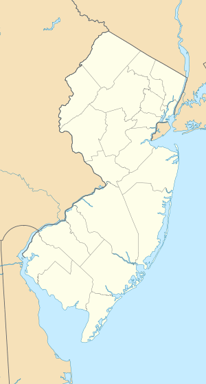 Wickatunk, New Jersey  Wickatunk, New Jersey Location of Wickatunk in Monmouth County Inset: Location of county within the state of New Jersey | |
| Coordinates: 40°21′00″N 74°14′53″W / 40.35000°N 74.24806°WCoordinates: 40°21′00″N 74°14′53″W / 40.35000°N 74.24806°W | |
| Country |
|
| State |
|
| County | Monmouth |
| Township | Marlboro |
| Elevation[1] | 174 ft (53 m) |
| Time zone | Eastern (EST) (UTC-5) |
| • Summer (DST) | EDT (UTC-4) |
| GNIS feature ID | 881818[1] |

Wickatunk is an unincorporated community located within Marlboro Township in Monmouth County, New Jersey, United States.[2] The major state road passing through the center of Wickatunk is Route 79. County Routes 3 and 520 also serve as major roads around Wickatunk. The ZIP code is 07765.
References
- 1 2 "Wickatunk". Geographic Names Information System. United States Geological Survey.
- ↑ Locality Search, State of New Jersey. Accessed March 13, 2015.
This article is issued from Wikipedia - version of the 6/10/2016. The text is available under the Creative Commons Attribution/Share Alike but additional terms may apply for the media files.