Cleurie
This article is about the commune. For the river, see Cleurie (river).
| Cleurie | ||
|---|---|---|
|
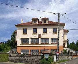
Town hall and school | ||
| ||
 Cleurie | ||
|
Location within Grand Est region  Cleurie | ||
| Coordinates: 48°03′06″N 6°40′36″E / 48.0517°N 6.6767°ECoordinates: 48°03′06″N 6°40′36″E / 48.0517°N 6.6767°E | ||
| Country | France | |
| Region | Grand Est | |
| Department | Vosges | |
| Arrondissement | Épinal | |
| Canton | Remiremont | |
| Intercommunality | Vallée de la Cleurie | |
| Government | ||
| • Mayor (2008–2014) | Patrick Lagarde | |
| Area1 | 11.04 km2 (4.26 sq mi) | |
| Population (2006)2 | 649 | |
| • Density | 59/km2 (150/sq mi) | |
| Time zone | CET (UTC+1) | |
| • Summer (DST) | CEST (UTC+2) | |
| INSEE/Postal code | 88109 / 88120 | |
| Elevation | 416–819 m (1,365–2,687 ft) | |
|
1 French Land Register data, which excludes lakes, ponds, glaciers > 1 km² (0.386 sq mi or 247 acres) and river estuaries. 2 Population without double counting: residents of multiple communes (e.g., students and military personnel) only counted once. | ||

Cleurie is a commune in the Vosges department in Grand Est in northeastern France.
See also
References
External links
| Wikimedia Commons has media related to Cleurie. |
This article is issued from Wikipedia - version of the 11/6/2016. The text is available under the Creative Commons Attribution/Share Alike but additional terms may apply for the media files.