Khetia
| Khetia | |
|---|---|
| city | |
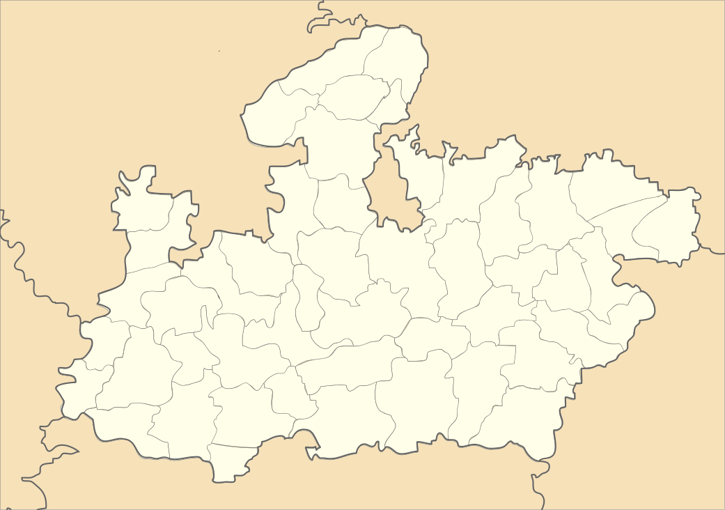 Khetia  Khetia Location in Madhya Pradesh, India | |
| Coordinates: 21°40′24″N 74°35′13″E / 21.67333°N 74.58694°ECoordinates: 21°40′24″N 74°35′13″E / 21.67333°N 74.58694°E | |
| Country |
|
| State | Madhya Pradesh |
| District | Barwani |
| Population (2012) | |
| • Total | 60,007 |
| Languages | |
| • Official | Hindi Ahirani |
| Time zone | IST (UTC+5:30) |
| Telephone code | 91-7286 |
| ISO 3166 code | IN-MP |
| Vehicle registration | MP |
Khetia is a town and a nagar panchayat in Barwani district in the Indian state of Madhya Pradesh. From Maharashtra State, it can be reached well by road from Shahada, Nandurbar and Dhule. It lies at a distance of 32 km west of Newali. For facilitating accessibility, this khetia town is well connected via railways and airports.
Demographics
As of 2001 India census,[1] Khetia had a population of 14,265. Males constitute 52% of the population and females 48%. Khetia has an average literacy rate of 66%, higher than the national average of 59.5%: male literacy is 75%, and female literacy is 58%. 15% of the population is under 6 years of age. The population of town has mix of religion majority of them are from Hindu community. Other community is Muslim, Jain and tribe. There are lot of temple in this town almost every main corner of the city has the temple for Hindus and Jain. Also there are two mosque present for Muslims to offer their 5 times prayer.
References
- ↑ 5=999 "Census of India 2001: Data from the 2001 Census, including cities, villages and towns (Provisional)" Check
|url=value (help). Census Commission of India. Retrieved 2008-11-01.