Sanawad
| Sanawad सनावाद | |
|---|---|
| Township | |
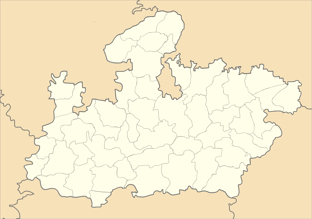 Sanawad Location of Mundi | |
| Coordinates: 22°10′59.98″N 76°04′0.12″E / 22.1833278°N 76.0667000°ECoordinates: 22°10′59.98″N 76°04′0.12″E / 22.1833278°N 76.0667000°E | |
| Country |
|
| State | Madhya Pradesh |
| Region | Nimar |
| District | Khargone District |
| Named for | Mundari (Ring or Circle) |
| Government | |
| • Type | Municipal Board |
| • Nagar palika Adhyaksha | Narendra Sharma(Lali) (Congress) |
| Demonym(s) | Mundian's |
| Time zone | IST (UTC+5:30) |
| Spoken Languages | Hindi, English ,Nimari |
Sanawad is an Indian town on the bank of the Bakud River in Khargone district in the Indian state of Madhya Pradesh. It is a popular center for the trade of cotton and chili peppers and is also noted for its Jain temples. Nearby towns include Mundi, Khandwa, Barwaha, Maheshwer, Khargone and Katora. It is 70 km away from Indore City.
Demographics
Sanawad is a Municipality city in district of (Khargone) West Nimar, Madhya Pradesh. The Sanawad city is divided into 18 wards for which elections are held every 5 years. The Sanawad Municipality has population of 38,740 of which 19,902 are males while 18,838 are females as per report released by Census India 2011.
Population of Children with age of 0-6 is 4832 which is 12.47% of total population of Sanawad (M). In Sanawad Municipality, Female Sex Ratio is of 947 against state average of 931. Moreover, Child Sex Ratio in Sanawad is around 914 compared to Madhya Pradesh state average of 918. Literacy rate of Sanawad city is 85.07% higher than state average of 69.32%. In Sanawad, Male literacy is around 90.67% while female literacy rate is 79.17%.
Sanawad Municipality has total administration over 7,454 houses to which it supplies basic amenities like water and sewerage. It is also authorized to build roads within Municipality limits and impose taxes on properties coming under its jurisdiction.
Caste Factor Schedule Caste (SC) constitutes 8.93% while Schedule Tribe (ST) were 7.55% of total population in Sanawad (M).
Work Profile Out of total population, 12,904 were engaged in work or business activity. Of this 10,619 were males while 2,285 were females. In census survey, worker is defined as person who does business, job, service, and cultivator and labour activity. Of total 12904 working population, 89.49% were engaged in Main Work while 10.51% of total workers were engaged in Marginal Work.
Holkar (Rajamata Devi Ahilya Bai Holkar's) capital Maheshwer where various forts and historical monuments could be visited is 60 km from the city
Sanawad is well connected to Maharashtra, Rajasthan and Gujarat through various state highways and rail route.
Education
Primary and Secondary
- R D Jain Montessori School
- M D Jain H S School
- Vimala Convent School
- Saraswati Vidhya Mandir
- Rewa Gurjar School
- Drashti Public School
- Priyansh Academy
- Gurukul School
- Parent's Pride
- Vasundhara Vidhyapeet
Universities and Colleges
- Government Polytechnic College, Sanawad
- Government College for Commerce and Science
- Private College of Science
- Shri reva gurjar bal niketan college
Economy
The economy is primarily based on agriculture and trading. The main crops grown are cotton, chili, wheat and soybean.
History
The city of Sanawad was originally known as Gulshanabad.
Pilgrims can reach famous Jyotirling Omkareshwar through Sanawad which is just 12 km from here.
Sanawad was home to freedom fighters Brij Mohan Sharma (also known as Birju Seth), Kamal Chand Jain (or Master Saab) and Jagdeesh Vidyarthi; all of whom were active in opposing British rule. The Misa bandhu is Lala Jivandas Bansal.
City is around 10 km from Raverkhedi village where Bajirao I spent his last time and died.
Culture
Sanawad has cultural sites such as the Namokar Dham Jain temple garden near the Jain temple Podumpuram and religious sites such as Omkareshwar. Sanawad is located at 5 km from Motakka/Omkareshwar road. Every December a Mela is held in Sanawad.
The Piranpeer Tekri, known for its Hindu-Muslim unity, is situated in Sanawad. Piranpeer tekri have revered Dargah on its top and Shitla mata mandir on one side.
References
External links
- "Sanawad". Wikimapia.org. Retrieved 2014-05-07.