Depalpur, India
| Depalpur देपालपुर | |
|---|---|
| city | |
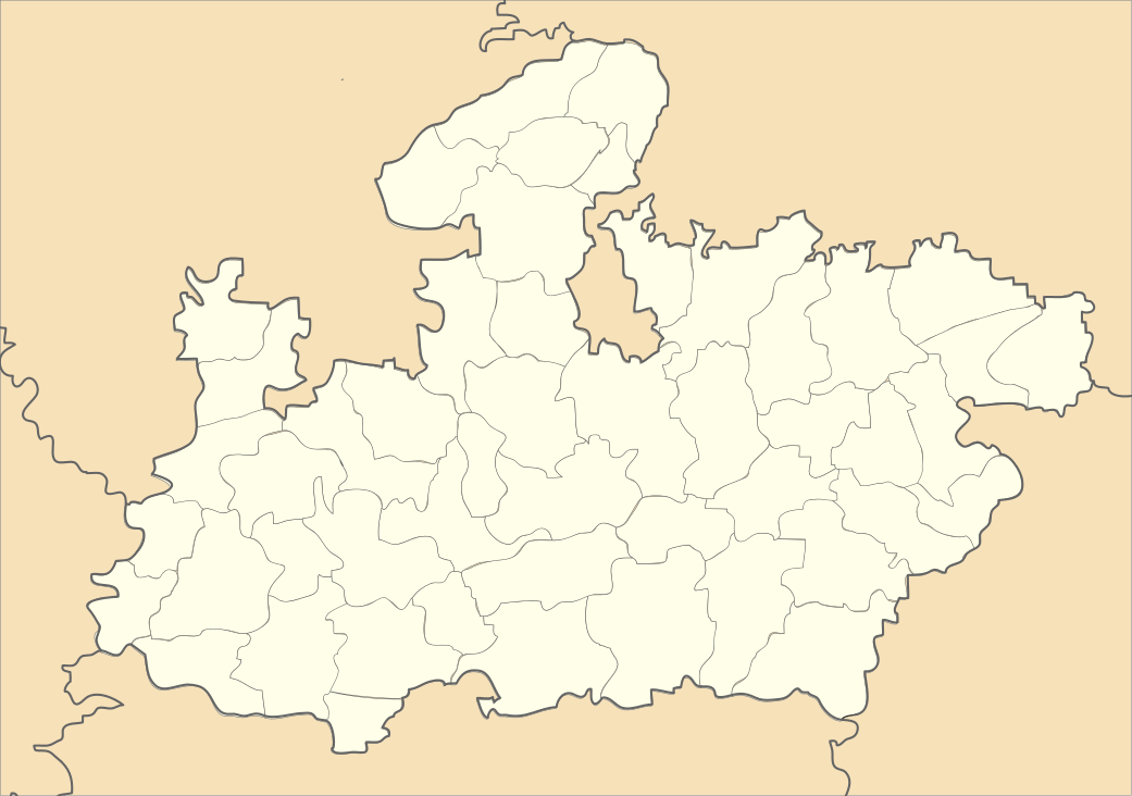 Depalpur  Depalpur Location in Madhya Pradesh, India | |
| Coordinates: 22°51′N 75°33′E / 22.85°N 75.55°ECoordinates: 22°51′N 75°33′E / 22.85°N 75.55°E | |
| Country |
|
| State | Madhya Pradesh |
| District | Indore |
| Government | |
| • Type | Municipal corporation |
| Elevation | 533 m (1,749 ft) |
| Population (2011) | |
| • Total | 25,300 |
| Languages | |
| • Official | Hindi |
| Time zone | IST (UTC+5:30) |
| ISO 3166 code | IN-MP |
| Vehicle registration | MP |
Depalpur is a town and a nagar panchayat in Indore district in the state of Madhya Pradesh, India.
Origin of name
According to tradition, the town is named after the Paramara dynasty ruler Devapala (reigned 1216–40).
History
In the Ain-i-Akbari, Depalpur is mentioned as one of the 10 mahals of Ujjain sarkar in Malwa Subah.[1] Later, it became part of the princely state of Indore.
Geography
Depalpur is located at 22°51′N 75°33′E / 22.85°N 75.55°E.[2] It has an average elevation of 533 metres (1748 feet).
Demographics
As of 2001 India census,[3] Depalpur had a population of 15,200. Males constitute 51% of the population and females 49%. Depalpur has an average literacy rate of 57%, lower than the national average of 59.5%: male literacy is 69% and, female literacy is 45%. In Depalpur, 16% of the population is under 6 years of age.
References
- ↑ Abul Fazl-i-Allami (1949, reprint 1993). Ain-i-Akbari, Vol.II (English tr. by H.S. Jarrett, rev. by J.N. Sarkar), Calcutta: The Asiatic Society, p.209
- ↑ Falling Rain Genomics, Inc - Depalpur
- ↑ "Census of India 2001: Data from the 2001 Census, including cities, villages and towns (Provisional)". Census Commission of India. Archived from the original on 2004-06-16. Retrieved 2008-11-01.