Thandla
| Thandla | |
|---|---|
| city | |
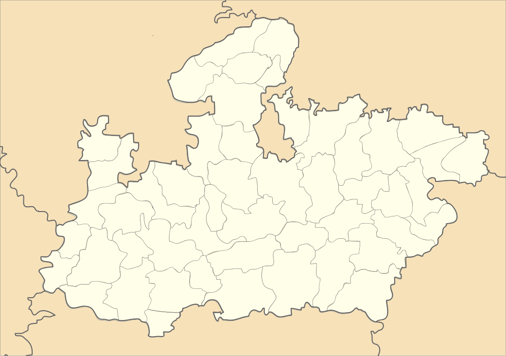 Thandla  Thandla Location in Madhya Pradesh, India | |
| Coordinates: 23°00′N 74°34′E / 23.0°N 74.57°ECoordinates: 23°00′N 74°34′E / 23.0°N 74.57°E | |
| Country |
|
| State | Madhya Pradesh |
| District | Jhabua |
| Elevation | 271 m (889 ft) |
| Population (2001) | |
| • Total | 25,000 |
| Languages | |
| • Official | Hindi |
| Time zone | IST (UTC+5:30) |
| PIN | 457777 |
| ISO 3166 code | IN-MP |
| Vehicle registration | MP |
Thandla is a town and a Nagar Parishad in Jhabua district in the Indian state of Madhya Pradesh.
Geography
Thandla is located at 23°00′N 74°34′E / 23.0°N 74.57°E.[1] It has an average elevation of 271 metres (889 feet).
Demographics
At the 2001 India census,[2] Thandla had a population of 12,685. Males constituted 52% of the population and females 48%. Thandla had an average literacy rate of 73%, higher than the national average of 59.5%: male literacy was 80%, and female literacy 66%. 14% of the population were under 6 years of age.
References
- ↑ Falling Rain Genomics, Inc - Thandla
- ↑ "Census of India 2001: Data from the 2001 Census, including cities, villages and towns (Provisional)". Census Commission of India. Archived from the original on 16 June 2004. Retrieved 1 November 2008.
This article is issued from Wikipedia - version of the 10/23/2016. The text is available under the Creative Commons Attribution/Share Alike but additional terms may apply for the media files.