Kunlong
| Kunlong | |
|---|---|
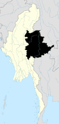
 Kunlong Location in Burma | |
| Coordinates: 23°25′00″N 98°39′00″E / 23.41667°N 98.65000°E | |
| Country | Burma |
| Division | Shan State |
| Population (2005) | |
| • Ethnicities | Shan, Wa |
| • Religions | Buddhism |
| Time zone | MST (UTC+6.30) |
Kunlong is the capital town of Kunlong Township in Shan State. its coordination is 23 25' 00" N and 98 39' 00" E.[1]
The Wa people inhabit the hills immediately overlooking the Nam Ting valley.
History
It is the home of Kunlong Bridge over the Salween River. There was a 42 days-long battle between Burma Communist Party (BCP) and Myanmar Army from November 1971 to January 1972 to control that strategic bridge.[2]
Further reading
References

This article is issued from Wikipedia - version of the 5/20/2016. The text is available under the Creative Commons Attribution/Share Alike but additional terms may apply for the media files.