Tachileik District
| Tachileik | |
|---|---|
| District | |
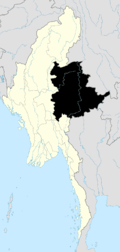
 Tachileik Location in Burma | |
| Coordinates: 20°41′00″N 100°2′30″E / 20.68333°N 100.04167°ECoordinates: 20°41′00″N 100°2′30″E / 20.68333°N 100.04167°E | |
| Country |
|
| State | Shan State |
| Elevation[1] | 400 m (1,300 ft) |
| Time zone | MST (UTC+6.30) |
Tachileik District (Burmese: တာချီလိတ်ခရိုင်; Thai: ท่าขี้เหล็ก, rtgs: Tha Khi Lek, pronounced [tʰâː.kʰîː.lèk], Thai meaning: "Cassod Port") is a district of the Shan State in Myanmar. It consists of 1 towns and 295 villages. It is one of the 4 districts of Eastern Shan State.
Townships
The district contains the following townships:
Panoramic view
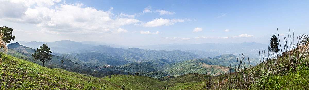
Looking out over Tachileik District, into the heart of the Daen Lao Range
References
Capital: Tachileik | |
|

This article is issued from Wikipedia - version of the 8/18/2015. The text is available under the Creative Commons Attribution/Share Alike but additional terms may apply for the media files.