Lajeado, Rio Grande do Sul
| Lajeado | |
|---|---|
| Municipality | |
 Location within Rio Grande do Sul | |
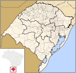
 Lajeado Location in Brazil | |
| Coordinates: 29°28′01″S 51°57′39″W / 29.46694°S 51.96083°WCoordinates: 29°28′01″S 51°57′39″W / 29.46694°S 51.96083°W | |
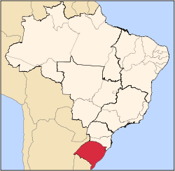
| Country |
|
| State | Rio Grande do Sul |
| Area | |
| • Total | 90.09 km2 (34.78 sq mi) |
| Elevation | 32 m (105 ft) |
| Population (2015) | |
| • Total | 78,486 |
| • Density | 870/km2 (2,300/sq mi) |
| Time zone | BRT (UTC-3) |
| • Summer (DST) | BRST (UTC-2) |
| Postal code | 95900-000 |
| Area code | 51 |
Lajeado is an important city in the valley of the Taquari River, Rio Grande do Sul, Brazil. The population is 78,486 (2015 est.) in an area of 90.09 km².[1] Some of the largest distributors of food and fuel of the state are found in Lajeado. The city is mostly urban. Its current mayor is the Mr. Luis Fernando Schmidt. It was founded in 1891, when it was separated from the municipality of Estrela. It was colonized by German and Italian people.
The city has a university: Univates.
References
This article is issued from Wikipedia - version of the 8/16/2016. The text is available under the Creative Commons Attribution/Share Alike but additional terms may apply for the media files.