Santo Antônio do Palma
For other uses, see Santo Antônio (disambiguation).
| Santo Antônio do Palma | |
|---|---|
| Municipality | |
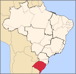
 Location in Rio Grande do Sul state | |
 Santo Antônio do Palma Location in Brazil | |
| Coordinates: 28°29′49″S 52°1′30″W / 28.49694°S 52.02500°WCoordinates: 28°29′49″S 52°1′30″W / 28.49694°S 52.02500°W | |
| Country |
|
| State | Rio Grande do Sul |
| Area | |
| • Total | 126.09 km2 (48.68 sq mi) |
| Population (2015) | |
| • Total | 2,198 |
| • Density | 17/km2 (45/sq mi) |
| Time zone | BRT (UTC-3) |
| • Summer (DST) | BRST (UTC-2) |
| Website |
www |
Santo Antônio do Palma (Portuguese meaning "Saint Anthony of the palm") is a municipality in the northern part of the state of Rio Grande do Sul, Brazil. The population is 2,198 (2015 est.) in an area of 126.09 km².[1] Its elevation is 669 m.
References
External links
- http://www.citybrazil.com.br/rs/stoantoniopalma/ (Portuguese)
This article is issued from Wikipedia - version of the 9/4/2016. The text is available under the Creative Commons Attribution/Share Alike but additional terms may apply for the media files.