Chã de Igreja
| Chã de Igreja | |
|---|---|
 | |
| Coordinates: 17°17′10″S 42°20′47″W / 17.286156813680474°S 42.34650320000003°WCoordinates: 17°17′10″S 42°20′47″W / 17.286156813680474°S 42.34650320000003°W | |
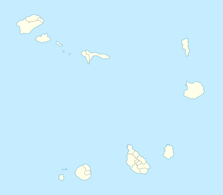
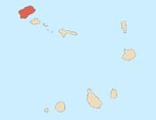
| Country | Cape Verde |
| Island | Santo Antão |
| Municipality | Ribeira Grande |
| Civil parish | São Pedro Apóstolo |
| Population (2010)[1] | |
| • Total | 672 |
Cruzinha da Garça
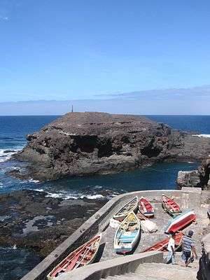
Chã de Igreja is a village in the northern part of the island of Santo Antão, Cape Verde. It is situated near the north coast of the island, in the valley of the river Ribeira da Garça. It is 19 km northwest of the island capital Porto Novo. 1 km to its north is the small seaside village Cruzinha which is recently became a protected area[2]
Its 2010 census population was 672.
Its geology consists of the formation known as the Old Volcanic Complex formed between 3 to 2 million years ago, it consists of basanite, tephrite and phonolite rocks.[3]
See also

Chã de Igreja
References
- ↑ "2010 Census results". Instituto Nacional de Estatística Cabo Verde (in Portuguese). 17 March 2014.
- ↑ "Protected areas of Cape Verde" (in Portuguese).
- ↑ Holm, Paul Martin (2006). Sampling the Cape Verde Mantle Plume: Evolution of Melt Compositions on Santo Antão, Cape Verde Island. 47. p. 145-18. doi:10.1093/petrology/egi071.
Subdivisions of the island of Santo Antão | |||||||||||||||
|---|---|---|---|---|---|---|---|---|---|---|---|---|---|---|---|
| Paul |
|  | |||||||||||||
| Porto Novo | |||||||||||||||
| Ribeira Grande | |||||||||||||||
| Parishes | 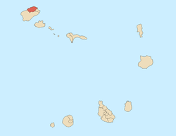 | |
|---|---|---|
| Communities and settlements | ||
| Geographical features |
| |
| Landmarks and points of Interests | ||
| Defunct airport | ||
| Culture |
| |
This article is issued from Wikipedia - version of the 12/1/2016. The text is available under the Creative Commons Attribution/Share Alike but additional terms may apply for the media files.