Cruachan-paorach
| Cruachan Paorach | |
|---|---|
| Croughaun Hill | |
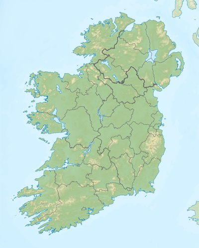 Cruachan Paorach Location in Ireland | |
| Highest point | |
| Elevation | 391 m (1,283 ft) [1] |
| Coordinates | 52°15′02″N 7°26′56″W / 52.25056°N 7.44889°WCoordinates: 52°15′02″N 7°26′56″W / 52.25056°N 7.44889°W |
| Geography | |
| Parent range | Comeragh Mountains |
| OSI/OSNI grid | S379110 |
Cruachan Paorach is a hill in north County Waterford, Ireland. It is approximately 150m high and has a conical shape. Villages in its hinterland include Fews, Clonea-Power and Rathgormack. The hill is sometimes used to forecast weather as when there is low cloud on Cruachan, bad weather is reputedly on its way.
References

This article is issued from Wikipedia - version of the 5/5/2016. The text is available under the Creative Commons Attribution/Share Alike but additional terms may apply for the media files.