Torc Mountain
| Torc Mountain | |
|---|---|
| Sliabh Torc | |
 Upper lake and the Black Valley in the distance as seen from the top of Torc Mountain | |
| Highest point | |
| Elevation | 535 m (1,755 ft) [1] |
| Prominence | 300 m (980 ft) [1] |
| Listing | Marilyn |
| Coordinates | 52°00′0″N 9°31′0″W / 52.00000°N 9.51667°W |
| Geography | |
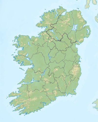 Torc Mountain Location in Ireland | |
| Location | Kerry, Ireland |
| Parent range | East Kerry |
| OSI/OSNI grid | V955839 |
| Topo map | OSi Discovery 78 |
Torc Mountain (Irish: Sliabh Torc) is a mountain near Killarney in County Kerry, Ireland which is 535 m high.
Etymology

Muckross House as seen from the top of Torc Mountain
Torc Mountain gets its name from the Irish word torc meaning boar, after an enchanted boar was killed there by the legendary hero, Fionn mac Cumhaill.
Geography
Torc Mountain is the 383rd highest summit in Ireland. It is easily climbed, with a walking trail marked for most of the climb.
References
- 1 2 "Mangerton Area / Torc Mountain". MountainViews. Ordnance Survey Ireland. Retrieved June 26, 2015.
See also
External links
![]() Media related to Torc Mountain at Wikimedia Commons
Media related to Torc Mountain at Wikimedia Commons
Coordinates: 52°00′N 9°31′W / 52.000°N 9.517°W

Lists of Marilyns | |
|---|---|
This article is issued from Wikipedia - version of the 9/24/2016. The text is available under the Creative Commons Attribution/Share Alike but additional terms may apply for the media files.