Mullaghanattin
| Mullaghanattin | |
|---|---|
| Mullach an Aitinn | |
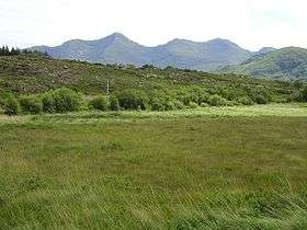 A bog backed by Mullaghanattin | |
| Highest point | |
| Elevation | 773 m (2,536 ft) [1] |
| Prominence | 528 m (1,732 ft) [1] |
| Listing | Marilyn, Hewitt |
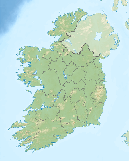
| Coordinates | 51°55′58.8″N 9°50′2.4″W / 51.933000°N 9.834000°WCoordinates: 51°55′58.8″N 9°50′2.4″W / 51.933000°N 9.834000°W |
| Naming | |
| Translation | Summit of the gorse (Irish) |
| Geography | |
 Mullaghanattin | |
| Parent range | Dunkerron Mountains (Mountains of the Iveragh Peninsula) |
| OSI/OSNI grid | V738772 |
| Climbing | |
| Easiest route | scrambling |
Mullaghanattin (Irish: Mullach an Aitinn, meaning "summit of the gorse"[2]) is a summit of the Dunkerron Mountains, part of the Mountains of the Iveragh Peninsula[3] in County Kerry, Ireland.
Geography
The mountain lies southwest of Stumpa Dúloigh, the highest mountain of the Dunkerron range. With an elevation is 773 metres it is the 58th highest summit in Ireland.
Access to the summit
Mullaghanattin summit can be accessed from Tooreennahone parking, then walking through gentle slopes which become very steep only for the last km.[1]
References
- 1 2 3 "Dunkerron Mountains Area / Mullaghanattin". MountainViews. Ordnance Survey Ireland. Retrieved June 9, 2015.
- ↑ Paul Tempan. "Irish Hill and Mountain Names" (PDF). www.mountaineering.ie. Mountaineering Ireland. Retrieved June 9, 2015.
- ↑ "Hills and Mountains of Britain and Ireland - Ireland : Iveragh Peninsula". www.walkingclub.org.uk. Saturday Walkers Club. Retrieved June 9, 2015.
External links

Lists of Marilyns | |
|---|---|
This article is issued from Wikipedia - version of the 1/17/2016. The text is available under the Creative Commons Attribution/Share Alike but additional terms may apply for the media files.