Lyracappul
| Lyracappul | |
|---|---|
| Ladhar an Chapaill | |
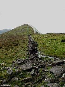 The wall on the summit | |
| Highest point | |
| Elevation | 825 m (2,707 ft) |
| Prominence | 100 m (330 ft) |
| Listing | Hewitt, Marilyn |
| Coordinates | 52°21′38″N 8°13′38″W / 52.360427°N 8.227342°W |
| Naming | |
| Translation | fork/confluence of the horse (Irish) |
| Geography | |
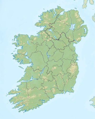 Lyracappul Location in Ireland | |
| Location |
County Limerick, Ireland |
| Parent range | Galtee Mountains |
| OSI/OSNI grid | R878238 |
| Topo map | OSi Discovery 74 |
Lyracappul (Irish: Ladhar an Chapaill, meaning "fork/confluence of the horse") is a mountain in Limerick in Ireland. With a height of 825 metres (2,707 ft) it is the second highest of the Galtee Mountains and the 29th highest peak in Ireland. Lyracappul is also the second highest point in County Limerick. The mountain has a steep southern slope.
See also
References

This article is issued from Wikipedia - version of the 9/24/2016. The text is available under the Creative Commons Attribution/Share Alike but additional terms may apply for the media files.