Bentee
| Bentee | |
|---|---|
| Binn an Tí | |
 | |
| Highest point | |
| Elevation | 376 m (1,234 ft) |
| Prominence | 270 m (890 ft) |
| Listing | Marilyn |
| Coordinates | 51°56′N 10°13′W / 51.933°N 10.217°WCoordinates: 51°56′N 10°13′W / 51.933°N 10.217°W |
| Naming | |
| Translation | peak of the house |
| Geography | |
 Bentee | |
| OSI/OSNI grid | V476780 |
| Climbing | |
| Easiest route | Hike |
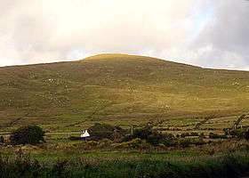
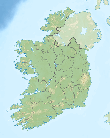
Bentee or Benatee (from Irish: Binn an Tí, meaning "peak of the house")[1][2] is a hill overlooking the town of Cahersiveen in County Kerry, Ireland.
Geography
The hill has a height of 376 metres (1,234 ft), providing good views of the surrounding area, Valentia Island, the Skellig Islands, the Dingle Peninsula and Macgillycuddy's Reeks.
Access to the summit
In recent years the Bentee Loop walking trail has been created. The main paths are over farmland, with the permission of the owners.
References
- ↑ Ordnance Survey Ireland - Online map viewer
- ↑ Iveragh NW Area - Beentee MountainViews.ie

Lists of Marilyns | |
|---|---|
This article is issued from Wikipedia - version of the 9/24/2016. The text is available under the Creative Commons Attribution/Share Alike but additional terms may apply for the media files.