Temple Hill (Ireland)
| Temple Hill | |
|---|---|
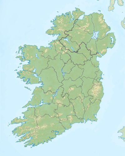 Temple Hill Location in Ireland | |
| Highest point | |
| Elevation | 785 m (2,575 ft) |
| Listing | Marilyn |
| Coordinates | 52°20′53″N 8°14′38″W / 52.348°N 8.244°WCoordinates: 52°20′53″N 8°14′38″W / 52.348°N 8.244°W |
| Geography | |
| Location | County Limerick, Ireland |
| OSI/OSNI grid | R8333218 |
Temple Hill is a mountain in County Limerick, Ireland. In the Bronze Age it was a place of worship.
References

Lists of Marilyns | |
|---|---|
This article is issued from Wikipedia - version of the 9/24/2016. The text is available under the Creative Commons Attribution/Share Alike but additional terms may apply for the media files.