Oyster Creek, Texas
For the river in Fort Bend and Brazoria Counties, Texas see: Oyster Creek (Texas).
| Oyster Creek, Texas | |
|---|---|
| City | |
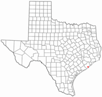 Location of Oyster Creek, Texas | |
 | |
| Coordinates: 28°59′55″N 95°19′30″W / 28.99861°N 95.32500°WCoordinates: 28°59′55″N 95°19′30″W / 28.99861°N 95.32500°W | |
| Country | United States |
| State | Texas |
| County | Brazoria |
| Area | |
| • Total | 2.0 sq mi (5.2 km2) |
| • Land | 1.9 sq mi (4.9 km2) |
| • Water | 0.1 sq mi (0.3 km2) |
| Elevation | 7 ft (2 m) |
| Population (2000) | |
| • Total | 1,192 |
| • Density | 629.1/sq mi (242.9/km2) |
| Time zone | Central (CST) (UTC-6) |
| • Summer (DST) | CDT (UTC-5) |
| ZIP code | 77541 |
| Area code(s) | 979 |
| FIPS code | 48-54528[1] |
| GNIS feature ID | 1364659[2] |
Oyster Creek is a city in Brazoria County, Texas, United States. The population was 1,111 at the 2010 census.
Geography
Oyster Creek is located at 28°59′55″N 95°19′30″W / 28.99861°N 95.32500°W (28.998521, -95.325062).[3]
According to the United States Census Bureau, the city has a total area of 2.0 square miles (5.2 km2), of which, 1.9 square miles (4.9 km2) of it is land and 0.1 square miles (0.26 km2) of it (5.50%) is water.
Demographics
| Historical population | |||
|---|---|---|---|
| Census | Pop. | %± | |
| 1980 | 1,473 | — | |
| 1990 | 912 | −38.1% | |
| 2000 | 1,192 | 30.7% | |
| 2010 | 1,111 | −6.8% | |
| Est. 2015 | 1,132 | [4] | 1.9% |
As of the census[1] of 2000, there were 1,192 people, 440 households, and 304 families residing in the city. The population density was 629.1 people per square mile (243.5/km²). There were 527 housing units at an average density of 278.1/sq mi (107.7/km²). The racial makeup of the city was 87.00% White, 3.61% African American, 1.59% Native American, 0.42% Asian, 5.29% from other races, and 2.10% from two or more races. Hispanic or Latino of any race were 16.86% of the population.
There were 440 households out of which 32.7% had children under the age of 18 living with them, 53.0% were married couples living together, 10.0% had a female householder with no husband present, and 30.9% were non-families. 23.4% of all households were made up of individuals and 10.2% had someone living alone who was 65 years of age or older. The average household size was 2.64 and the average family size was 3.14.
In the city the population was spread out with 30.2% under the age of 18, 8.6% from 18 to 24, 28.5% from 25 to 44, 22.0% from 45 to 64, and 10.7% who were 65 years of age or older. The median age was 33 years. For every 100 females there were 104.5 males. For every 100 females age 18 and over, there were 102.4 males.
The median income for a household in the city was $35,144, and the median income for a family was $38,676. Males had a median income of $35,000 versus $18,750 for females. The per capita income for the city was $15,000. About 14.2% of families and 19.2% of the population were below the poverty line, including 29.5% of those under age 18 and 15.0% of those age 65 or over.
Education
The city is served by the Brazosport Independent School District.
- Velasco Elementary School
- Lanier Middle School
- Freeport Intermediate School
- Brazosport High School
The city is also served by Brazosport College.
The city is served by the Brazoria County Library System.
References
- 1 2 "American FactFinder". United States Census Bureau. Retrieved 2008-01-31.
- ↑ "US Board on Geographic Names". United States Geological Survey. 2007-10-25. Retrieved 2008-01-31.
- ↑ "US Gazetteer files: 2010, 2000, and 1990". United States Census Bureau. 2011-02-12. Retrieved 2011-04-23.
- ↑ "Annual Estimates of the Resident Population for Incorporated Places: April 1, 2010 to July 1, 2015". Retrieved July 2, 2016.
- ↑ "Census of Population and Housing". Census.gov. Retrieved June 4, 2015.
External links
Municipalities and communities of Brazoria County, Texas, United States | ||
|---|---|---|
| Cities | 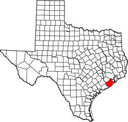 | |
| Towns | ||
| Villages | ||
| CDPs | ||
| Other unincorporated communities | ||
| Footnotes | ‡This populated place also has portions in an adjacent county or counties | |