Shire of Yalgoo
This article is about a local government area. For the town, see Yalgoo, Western Australia.
| Shire of Yalgoo Western Australia | |||||||||||||
|---|---|---|---|---|---|---|---|---|---|---|---|---|---|
 Location in Western Australia | |||||||||||||
| Population | 445 (2013 est)[1] | ||||||||||||
| • Density | 0.015772/km2 (0.04085/sq mi) | ||||||||||||
| Area | 28,214.6 km2 (10,893.7 sq mi) | ||||||||||||
| President | Neil Grinham | ||||||||||||
| Council seat | Yalgoo | ||||||||||||
| Region | Mid West | ||||||||||||
| State electorate(s) | North West | ||||||||||||
| Federal Division(s) | Durack | ||||||||||||
|
| |||||||||||||
| Website | Shire of Yalgoo | ||||||||||||
| |||||||||||||
The Shire of Yalgoo is a local government area in the Mid West region of Western Australia, about 500 kilometres (311 mi) north of the state capital, Perth. The Shire covers an area of 28,215 square kilometres (10,894 sq mi), and its seat of government is the town of Yalgoo.
History
The original Yalgoo Road District was gazetted in 1896, and merged into Mullewa in August 1911. The Upper Murchison Road District, gazetted in 1907, was renamed to Yalgoo in 1912. On 1 July 1961, it became a shire under the Local Government Act 1960.[2]
Wards
The Shire is no longer divided into wards and the seven councillors sit at large.
Towns and localities
- Yalgoo
- Gullewa
- Noongal
- Paynes Find
Pastoral station names associated with Yalgoo
Note that some of these stations may lie outside of the local government boundary.
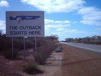
Shire boundary on the Great Northern Highway near Mount Gibson
- Barnong
- Bunnawarra
- Carlaminda
- Dalgaranga
- Edah
- Gabyon
- Jingemarra
- Maranalgo
- Meka
- Melangata
- Mellenbye
- Mount Gibson
- Muralgarra
- Nalbarra
- Ninghan
- Noongal
- Oudabunna
- Thundelarra
- Wagga Wagga
- Wydgee
Notable councillors
- Frank Wallace, Yalgoo Roads Board chairman 1896–1897; later a state MP
See also
- Yalgoo (biogeographic region) – the ecological region
References
- ↑ "3218.0 Regional Population Growth, Australia. Table 5. Estimated Resident Population, Local Government Areas, Western Australia". 3 April 2014. Retrieved 11 September 2014.
- ↑ WA Electoral Commission, Municipality Boundary Amendments Register (release 3.0), 31 May 2007.
External links
Coordinates: 28°20′28″S 116°40′59″E / 28.341°S 116.683°E
This article is issued from Wikipedia - version of the 11/27/2016. The text is available under the Creative Commons Attribution/Share Alike but additional terms may apply for the media files.