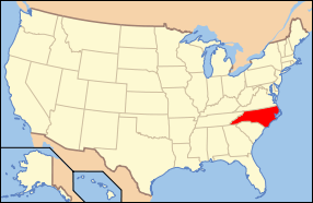
West Badin Historic District
|
West Badin Historic District | |
  | |
| Location | Roughly bounded by Sims, Lincoln, Marion, and Lee Sts., Badin, North Carolina |
|---|---|
| Coordinates | 35°24′35″N 80°07′28″W / 35.40972°N 80.12444°WCoordinates: 35°24′35″N 80°07′28″W / 35.40972°N 80.12444°W |
| Area | 84 acres (34 ha) |
| Architectural style | Bungalow/craftsman, Gothic |
| MPS | Badin MRA |
| NRHP Reference # | 83004002[1] |
| Added to NRHP | October 12, 1983 |
West Badin Historic District is a national historic district located at Badin, Stanly County, North Carolina. The district encompasses 153 contributing buildings and 4 contributing sites in the company town of Badin. They were built starting about 1912 and include residential, institutional, and commercial structures in Gothic Revival and Bungalow / American Craftsman style architecture. The community was developed by the Southern Aluminum Company of America, later Alcoa, with West Badin developed for African-American residents. Notable buildings include the houses at 704 Roosevelt Street and 417 Jackson Street, 228-226 Lincoln Avenue duplex, Baptist Church, McDonald's Chapel AME Zion Church, and Badin Colored School.[2]
It was added to the National Register of Historic Places in 1983.[1]
References
- 1 2 National Park Service (2010-07-09). "National Register Information System". National Register of Historic Places. National Park Service.
- ↑ Brent D. Glass and Pat Dickinson (May 1981). "West Badin Historic District" (pdf). National Register of Historic Places - Nomination and Inventory. North Carolina State Historic Preservation Office. Retrieved 2015-05-01.

