Toyoyama, Aichi
| Toyoyama 豊山町 | |||
|---|---|---|---|
| Town | |||
|
Toyoyama Town Office | |||
| |||
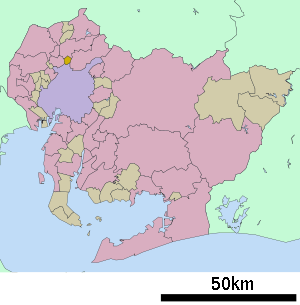 Location of Toyoyama in Aichi Prefecture | |||
 Toyoyama
| |||
| Coordinates: 35°15′1.8″N 136°54′43.7″E / 35.250500°N 136.912139°ECoordinates: 35°15′1.8″N 136°54′43.7″E / 35.250500°N 136.912139°E | |||
| Country | Japan | ||
| Region |
Chūbu region Tōkai region | ||
| Prefecture | Aichi Prefecture | ||
| District | Nishikasugai | ||
| Area | |||
| • Total | 6.18 km2 (2.39 sq mi) | ||
| Population (May 2015) | |||
| • Total | 15,167 | ||
| • Density | 2,450/km2 (6,300/sq mi) | ||
| Time zone | Japan Standard Time (UTC+9) | ||
| - Tree | Castanopsis | ||
| - Flower | Camellia sasanqua | ||
| Phone number | 0568-28-0001 | ||
| Address | Toyoyama-chō, Nishikasugai-gun, Aichi-ken 480-0292 | ||
| Website | Official website | ||


Toyoyama (豊山町 Toyoyama-chō) is a town located in Nishikasugai District, Aichi Prefecture, Japan.
As of May 2015, the town had an estimated population of 15,167 and a population density of 2450 persons per km². The total area was 6.18 square kilometres (2.39 sq mi). A third of the area of the town is occupied by the old Nagoya Airfield.
Geography
Toyoyama is located in the flatlands of central Aichi Prefecture.
Neighboring municipalities
- Aichi Prefecture
History
Toyoyama Village was established in 1906 through the merger of Aoyama and Toyoba villages. It was elevated to town status on April 1, 1972.
Economy
Mitsubishi Heavy Industries Aerospace Division assembles the Mitsubishi Regional Jet in Toyoyama. Nakanihon Air Service, a general aviation operator, is also located in Toyoyama on the airport grounds.[1]
Education
- Toyoyama has three elementary schools and one middle school.
Transportation
Airport
Railway
Toyoyama currently has no passenger train station within town limits.
Highway
Noted people from Toyoyama
- Ichiro Suzuki, baseball player.[2]
References
- ↑ "Welcome To Nakanihon Air Service Station". Nakanihon Air Service. Retrieved August 9, 2011.
- ↑ "A Seeker on the Diamond". Aichi Prefecture. Retrieved September 24, 2012.
External links
![]() Media related to Toyoyama, Aichi at Wikimedia Commons
Media related to Toyoyama, Aichi at Wikimedia Commons
- Official website (Japanese)
| Wards of Nagoya | ||
|---|---|---|
| Core cities | ||
| Special cities | ||
| Cities | ||
| Aichi District | ||
| Ama District | ||
| Chita District | ||
| Kitashitara District | ||
| Nishikasugai District | ||
| Niwa District | ||
| Nukata District | ||