List of Indiana state parks

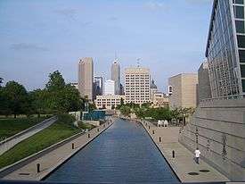
The U.S. state of Indiana has 25 state parks maintained and operated by Indiana Department of Natural Resources (DNR). Marion and Clark are the only counties to have two. Brown County, the largest state park, has the greatest number of visitors, followed by Indiana Dunes State Park.[1] In addition, a separate state agency operates White River State Park in downtown Indianapolis.[2]
Richard Lieber was instrumental in the foundation of the Indiana State Park system. The first state park in Indiana was McCormick's Creek State Park, in Owen County in 1916, followed in the same year by Turkey Run State Park in Parke County. A steady climb in the number of state parks rose in the 1920s, mostly by donation from local authorities to the state government for the purpose of a state park. Of the initial twelve, only Muscatatuck State Park is no longer a state park, having been given back to Jennings County in 1968.[3] It was during the Great Depression of the 1930s that much infrastructure was built within the park, constructed by New Deal agencies such as the Civilian Conservation Corps and the Works Progress Administration, with the majority of this Depression-era construction still in use in the 21st Century. This delay in infrastructure was due in part to Richard Lieber believing that the parks should be kept as natural as possible.[4]
Initially, the state parks were meant to feature natural environments in Indiana; establishing Mounds State Park for its historical nature and establishing Shakamak State Park purely for recreational purposes (it was an abandoned strip mine) strayed from the initial purposes of the Indiana state park system.[5]
While Indiana does not have as many state parks as some other states, it has avoided obtaining too many smaller properties that would be hard to manage. A goal of having at least one state park within an hour's drive for every Hoosier was met when Prophetstown State Park was established.[6]
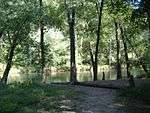
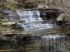
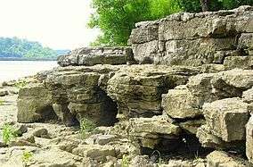
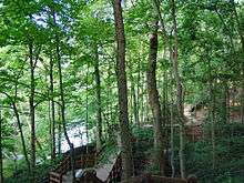
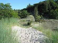
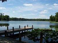
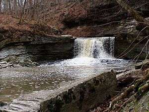
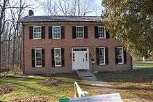
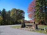
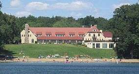
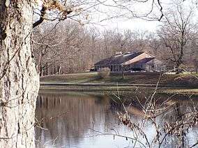
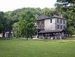
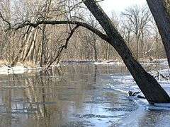
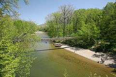
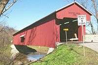
State parks


See also
References
- ↑ "Statistics". Indiana Department of Natural Resources. Retrieved March 28, 2010.
- ↑ "White River State Park". in.gov. State of Indiana. Retrieved September 3, 2014.
- ↑ History
- ↑ Ralston, Patrick. New Deal Resources in Indiana State Parks MPS
- ↑ Ralston
- ↑ DNR - State Parks & Reservoirs: History & Culture
- 1 2 "Indiana Recreation Guide 2010" (PDF). Indiana Department of Natural Resources. Retrieved 31 March 2010.
- ↑ "Brown County". Indiana Department of Natural Resources. Retrieved 28 March 2010.
- ↑ "Chain O' Lakes". Indiana Department of Natural Resources. Retrieved 28 March 2010.
- ↑ "Charlestown". Indiana Department of Natural Resources. Retrieved 28 March 2010.
- ↑ "Clifty Falls". Indiana Department of Natural Resources. Retrieved 28 March 2010.
- ↑ "Falls of the Ohio". Indiana Department of Natural Resources. Retrieved 28 March 2010.
- ↑ "Fort Harrison". Indiana Department of Natural Resources. Retrieved 28 March 2010.
- ↑ "Harmonie". Indiana Department of Natural Resources. Retrieved 28 March 2010.
- ↑ "Indiana Dunes". Indiana Department of Natural Resources. Retrieved 28 March 2010.
- ↑ "Lincoln". Indiana Department of Natural Resources. Retrieved 28 March 2010.
- ↑ "McCormick's Creek". Indiana Department of Natural Resources. Retrieved 28 March 2010.
- ↑ "Mounds". Indiana Department of Natural Resources. Retrieved 28 March 2010.
- ↑ "O'Bannon Woods". Indiana Department of Natural Resources. Retrieved 28 March 2010.
- ↑ "Ouabache". Indiana Department of Natural Resources. Retrieved 28 March 2010.
- ↑ "Pokagon". Indiana Department of Natural Resources. Retrieved 28 March 2010.
- ↑ "Potato Creek". Indiana Department of Natural Resources. Retrieved 28 March 2010.
- ↑ "Prophetstown". Indiana Department of Natural Resources. Retrieved 28 March 2010.
- ↑ "Shades". Indiana Department of Natural Resources. Retrieved 28 March 2010.
- ↑ "Shakamak". Indiana Department of Natural Resources. Retrieved 28 March 2010.
- ↑ "Spring Mill". Indiana Department of Natural Resources. Retrieved 28 March 2010.
- ↑ "Summit Lake". Indiana Department of Natural Resources. Retrieved 28 March 2010.
- ↑ "Tippecanoe River". Indiana Department of Natural Resources. Retrieved 28 March 2010.
- ↑ "Turkey Run". Indiana Department of Natural Resources. Retrieved 28 March 2010.
- ↑ "Versailles". Indiana Department of Natural Resources. Retrieved 28 March 2010.
- ↑ "White River". White River State Park. Retrieved March 28, 2010.
- ↑ "Whitewater Memorial". Indiana Department of Natural Resources. Retrieved 28 March 2010.
External links
| Wikimedia Commons has media related to State parks of Indiana. |
