Tauxemont Historic District
|
Tauxemont Historic District | |
|
Home in the Tauxemont Historic District, September 2012 | |
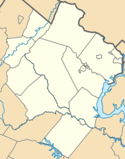   | |
| Location | Between Fort Hunt Rd. and Accotink Place, inc. Shenandoah, Tauxemont, Namassin, Westmoreland and Gahant Rds. and Bolling, near Alexandria, Virginia |
|---|---|
| Coordinates | 38°44′37″N 77°03′14″W / 38.74361°N 77.05389°WCoordinates: 38°44′37″N 77°03′14″W / 38.74361°N 77.05389°W |
| Area | 50 acres (20 ha) |
| Built | 1941-1955 |
| Architect | Davenport, Robert; et al. |
| Architectural style | Modern Movement |
| NRHP Reference # | 06000033[1] |
| VLR # | 029-5199 |
| Significant dates | |
| Added to NRHP | February 9, 2006 |
| Designated VLR | December 7, 2005[2] |

Tauxemont Historic District is a national historic district located near Alexandria, Fairfax County, Virginia. It encompasses 71 contributing buildings, 1 contributing site, and 1 contributing structure in a World War II-era subdivision near Alexandria. It was developed in three sections between 1941 and 1955. The basic Tauxemont house is a cinder block one-story, side-gable-roofed rectangular starter house. Included in the district are 10 Lustron houses. Some houses have additions designed by noted architect Charles Goodman.[3]
It was listed on the National Register of Historic Places in 2006.[1]
References
- 1 2 National Park Service (2010-07-09). "National Register Information System". National Register of Historic Places. National Park Service.
- ↑ "Virginia Landmarks Register". Virginia Department of Historic Resources. Retrieved 5 June 2013.
- ↑ Susan Escherich and Mary Thompson (June 2005). "National Register of Historic Places Inventory/Nomination: Tauxemont Historic District" (PDF). Virginia Department of Historic Resources. and Accompanying four photos and Accompanying map


This article is issued from Wikipedia - version of the 11/30/2016. The text is available under the Creative Commons Attribution/Share Alike but additional terms may apply for the media files.