Cleremont Farm
|
Cleremont Farm | |
 | |
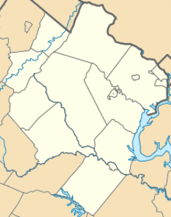   | |
| Location | East side of VA 619, 0.6 miles (0.97 km) northeast of VA 743, Upperville, Virginia |
|---|---|
| Coordinates | 39°02′47″N 77°51′51″W / 39.04639°N 77.86417°WCoordinates: 39°02′47″N 77°51′51″W / 39.04639°N 77.86417°W |
| Area | 107 acres (43 ha) |
| Built | 1820 |
| Built by | Dew, William |
| Architectural style | Federal, Colonial Revival |
| NRHP Reference # | 96001627[1] |
| VLR # | 053-1038 |
| Significant dates | |
| Added to NRHP | January 25, 1997 |
| Designated VLR | June 19, 1996[2] |
Cleremont Farm is a historic home and farm located near Upperville, Loudoun County, Virginia. The original section of the house was built in two stages between about 1820 and 1835, and added onto subsequently in the 1870s. 1940s. and 1980s. It consists of a stone portion, a log portion, and a stone kitchen wing. It has a five bay, two-story, gable-roofed center section in the Federal style. A one-bay, one-story Colonial Revival-style pedimented entrance portico was built in the early 1940s. Also on the property are the contributing original 1 1/2-story, stuccoed stone dwelling (1761); a stone kitchen from the late 19th or early 20th century; a stuccoed frame tenant house built about 1940; a stone carriage mount; and a series of five stone walls.[3]
It was listed on the National Register of Historic Places in 1997.[1]
References
- 1 2 National Park Service (2010-07-09). "National Register Information System". National Register of Historic Places. National Park Service.
- ↑ "Virginia Landmarks Register". Virginia Department of Historic Resources. Retrieved 5 June 2013.
- ↑ Geoffrey B. Henry (April 1996). "National Register of Historic Places Inventory/Nomination: Cleremont Farm" (PDF). Virginia Department of Historic Resources. and Accompanying photo

