Port Norfolk Historic District
|
Port Norfolk Historic District | |
|
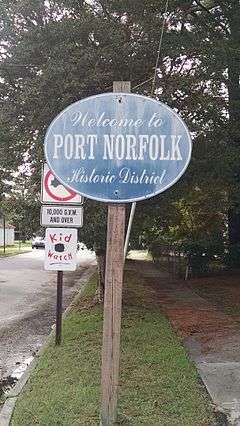
Sign for the Port Norfolk Historic District | |
  | |
| Location | Roughly bounded by Bayview Blvd., Chatauqua Ave., Hartford St., Douglas Ave. and Hull Creek, Portsmouth, Virginia |
|---|---|
| Coordinates | 36°50′54″N 76°20′14″W / 36.84833°N 76.33722°WCoordinates: 36°50′54″N 76°20′14″W / 36.84833°N 76.33722°W |
| Area | 160 acres (65 ha) |
| Built | 1890 |
| Architectural style | Bungalow/craftsman, Queen Anne, American Four Square |
| NRHP Reference # | 83003299[1] |
| VLR # | 124-0051 |
| Significant dates | |
| Added to NRHP | September 30, 1983 |
| Designated VLR | August 16, 1983[2] |
Port Norfolk Historic District is a national historic district located at Portsmouth, Virginia. It encompasses 621 contributing buildings and 1 contributing site in a primarily residential section of suburban Portsmouth. It was developed between about 1890 and 1910, and includes notable examples of Queen Anne, Bungalow / American Craftsman, and American Foursquare style single family residences.[3]
It was listed on the National Register of Historic Places in 1983.[1]
References
- 1 2 National Park Service (2010-07-09). "National Register Information System". National Register of Historic Places. National Park Service.
- ↑ "Virginia Landmarks Register". Virginia Department of Historic Resources. Retrieved 19 March 2013.
- ↑ Virginia Historic Landmarks Commission Staff (August 1983). "National Register of Historic Places Inventory/Nomination: Port Norfolk Historic District" (PDF). Virginia Department of Historic Resources. and Accompanying photo and Accompanying map


This article is issued from Wikipedia - version of the 11/30/2016. The text is available under the Creative Commons Attribution/Share Alike but additional terms may apply for the media files.