Tullakool, New South Wales
| Tullakool New South Wales | |
|---|---|
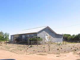 Community Hall | |
|
Tullakool | |
| Coordinates | 35°22′0″S 144°09′0″E / 35.36667°S 144.15000°ECoordinates: 35°22′0″S 144°09′0″E / 35.36667°S 144.15000°E |
| Population | 330 (2006 census)[1] |
| Postcode(s) | 2732 |
| Location | |
| LGA(s) | Murray River Council |
| County | Wakool |
| Parish | Beremegad |
| State electorate(s) | Murray-Darling |
| Federal Division(s) | Farrer |
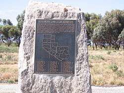
Memorial at Tullakool
Tullakool is a village community in the south west part of the Riverina. The place by road, is situated about 23 kilometres east from Burraboi and 27 km (17 mi) west from Wakool. It was the location of the first commercial rice crop in the Murray valley. At the 2006 census, Tullakool had a population of 330.[1]
In 1948 the area was divided into Soldier settlement allotments.
Notes and references
- 1 2 Australian Bureau of Statistics (25 October 2007). "Tullakool (State Suburb)". 2006 Census QuickStats. Retrieved 2007-10-29.
- ↑ Travelmate
| Wikimedia Commons has media related to Tullakool, New South Wales. |
This article is issued from Wikipedia - version of the 9/23/2016. The text is available under the Creative Commons Attribution/Share Alike but additional terms may apply for the media files.