Clapiers
| Clapiers | ||
|---|---|---|
|
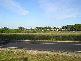
A general view of Clapiers | ||
| ||
 Clapiers | ||
|
Location within Occitanie region  Clapiers | ||
| Coordinates: 43°39′30″N 3°53′21″E / 43.6583°N 3.8892°ECoordinates: 43°39′30″N 3°53′21″E / 43.6583°N 3.8892°E | ||
| Country | France | |
| Region | Occitanie | |
| Department | Hérault | |
| Arrondissement | Montpellier | |
| Canton | Montpellier-2 | |
| Intercommunality | Montpellier | |
| Government | ||
| • Mayor (2008–2014) | Pierre Maurel | |
| Area1 | 7.69 km2 (2.97 sq mi) | |
| Population (2008)2 | 5,073 | |
| • Density | 660/km2 (1,700/sq mi) | |
| Time zone | CET (UTC+1) | |
| • Summer (DST) | CEST (UTC+2) | |
| INSEE/Postal code | 34077 / 34830 | |
| Elevation |
25–126 m (82–413 ft) (avg. 25 m or 82 ft) | |
|
1 French Land Register data, which excludes lakes, ponds, glaciers > 1 km² (0.386 sq mi or 247 acres) and river estuaries. 2 Population without double counting: residents of multiple communes (e.g., students and military personnel) only counted once. | ||

Clapiers is a commune in the Hérault department in southern France.
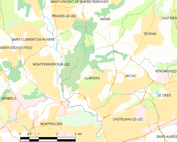
Map
Population
| Historical population | ||
|---|---|---|
| Year | Pop. | ±% |
| 1900 | 200 | — |
| 1962 | 326 | +63.0% |
| 1968 | 374 | +14.7% |
| 1975 | 867 | +131.8% |
| 1982 | 1,900 | +119.1% |
| 1990 | 3,478 | +83.1% |
| 1999 | 4,631 | +33.2% |
| 2008 | 5,073 | +9.5% |
See also
External links
| Wikimedia Commons has media related to Clapiers. |
This article is issued from Wikipedia - version of the 7/15/2016. The text is available under the Creative Commons Attribution/Share Alike but additional terms may apply for the media files.