Beaufort, Hérault
| Beaufort | ||
|---|---|---|
|
The church of Saint-Martin | ||
| ||
 Beaufort | ||
|
Location within Occitanie region  Beaufort | ||
| Coordinates: 43°17′57″N 2°45′32″E / 43.2992°N 2.7589°ECoordinates: 43°17′57″N 2°45′32″E / 43.2992°N 2.7589°E | ||
| Country | France | |
| Region | Occitanie | |
| Department | Hérault | |
| Arrondissement | Béziers | |
| Canton | Olonzac | |
| Intercommunality | Minervois | |
| Government | ||
| • Mayor (2008–2014) | Antoine Maldonado | |
| Area1 | 6.09 km2 (2.35 sq mi) | |
| Population (2008)2 | 168 | |
| • Density | 28/km2 (71/sq mi) | |
| Time zone | CET (UTC+1) | |
| • Summer (DST) | CEST (UTC+2) | |
| INSEE/Postal code | 34026 / 34210 | |
| Elevation |
53–220 m (174–722 ft) (avg. 75 m or 246 ft) | |
|
1 French Land Register data, which excludes lakes, ponds, glaciers > 1 km² (0.386 sq mi or 247 acres) and river estuaries. 2 Population without double counting: residents of multiple communes (e.g., students and military personnel) only counted once. | ||
_St-Martin_1.JPG)
.svg.png)
Beaufort is a commune in the Hérault department in the Occitanie region in southern France.
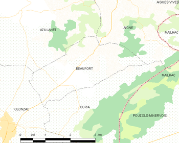
Map
Population
| Historical population | ||
|---|---|---|
| Year | Pop. | ±% |
| 1962 | 192 | — |
| 1968 | 194 | +1.0% |
| 1975 | 156 | −19.6% |
| 1982 | 161 | +3.2% |
| 1990 | 161 | +0.0% |
| 1999 | 155 | −3.7% |
| 2008 | 168 | +8.4% |
See also
References
| Wikimedia Commons has media related to Beaufort (Hérault). |
This article is issued from Wikipedia - version of the 11/12/2016. The text is available under the Creative Commons Attribution/Share Alike but additional terms may apply for the media files.