Gignac, Hérault
| Gignac | ||
|---|---|---|
|
Notre Dame de Grâce | ||
| ||
 Gignac | ||
|
Location within Occitanie region  Gignac | ||
| Coordinates: 43°39′N 3°33′E / 43.65°N 3.55°ECoordinates: 43°39′N 3°33′E / 43.65°N 3.55°E | ||
| Country | France | |
| Region | Occitanie | |
| Department | Hérault | |
| Arrondissement | Lodève | |
| Canton | Gignac | |
| Intercommunality | Vallée de l'Hérault | |
| Government | ||
| • Mayor (2014–2020) | Jean François Soto | |
| Area1 | 29.85 km2 (11.53 sq mi) | |
| Population (2011)2 | 5,515 | |
| • Density | 180/km2 (480/sq mi) | |
| Time zone | CET (UTC+1) | |
| • Summer (DST) | CEST (UTC+2) | |
| INSEE/Postal code | 34114 / 34150 | |
| Elevation | 28–286 m (92–938 ft) | |
|
1 French Land Register data, which excludes lakes, ponds, glaciers > 1 km² (0.386 sq mi or 247 acres) and river estuaries. 2 Population without double counting: residents of multiple communes (e.g., students and military personnel) only counted once. | ||

.svg.png)
Gignac (in Occitan Ginhac) is a commune in the Hérault département in the Occitanie region in southern France.
Population
Its inhabitants are called Gignacois.
| Historical population | ||
|---|---|---|
| Year | Pop. | ±% |
| 1962 | 2,540 | — |
| 1968 | 2,746 | +8.1% |
| 1975 | 2,848 | +3.7% |
| 1982 | 3,228 | +13.3% |
| 1990 | 3,652 | +13.1% |
| 1999 | 3,955 | +8.3% |
| 2008 | 5,165 | +30.6% |
| 2011 | 5,515 | +6.8% |
Sights
- Gignac Bridge over the Hérault River, completed 1810.
- Church of Notre-Dame-de-Grâce
- "Tour sarrasine" tower
Personalities
- Antoine de Laurès (1708–1779), writer, friend of Voltaire, translator into French of Pharsalia by Lucan (Marcus Annaeus Lucanus), and author of La fête de Cythère, a one-act opera created on 19 November 1753 at the Château de Berny. He lived in the Château de Gignac.
Map
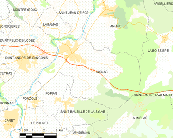
Map
See also
References
External links
| Wikimedia Commons has media related to Gignac (Hérault). |
- Official site (French)
- Gignac on the Quid site (French)
- Position of Gignac on a map of France
- Map of Gignac on Mapquest
This article is issued from Wikipedia - version of the 11/12/2016. The text is available under the Creative Commons Attribution/Share Alike but additional terms may apply for the media files.