Ikast
| Ikast | |
|---|---|
|
Ikast Church | |
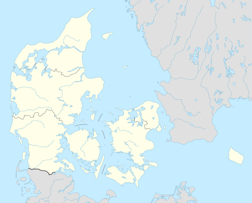 Ikast Location in Denmark | |
| Coordinates: 56°08′N 09°09′E / 56.133°N 9.150°E | |
| Country | Denmark |
| Region | Central Denmark (Midtjylland) |
| Municipality | Ikast-Brande |
| Government | |
| • Mayor | Carsten Kissmeyer-Nielsen |
| Area(in Ikast-Brande Municipality) | |
| • Total | 736.41 km2 (284.33 sq mi) |
| Population (2014) | |
| • Total | 15,231 |
| Time zone | Central Europe Time (UTC+1) |
.jpg)
Ikast is a Danish town in the Central Denmark Region (Region Midtjylland). It has been part of the municipality of Ikast-Brande since 2007. It was the seat of the former Ikast Municipality.
Geography
The town is situated in the middle of Jutland. The town is situated 5 km from Hammerum, which is the Eastern outskirts of Herning Municipality. Ikast is situated 28 km from Silkeborg, and 69 km away from Aarhus.
Demography
As of 1 January 2014, the population of the town is 21,572.[1]
History
Up until late in the nineteenth century, Ikast was nothing more than a few buildings surrounding the church. During the industrialization, Ikast established a strong presence in Denmark as one of the main towns for the textile industry, which was the main industry in the area until the start of globalization, where production jobs were outsourced.
The opening of the railway in the 1850's led to an increase in population, as the existing part of town surrounding the church, and the new part of town, built around the railway, grew in to each other.[2]
The church was originally a Roman church, built in the 13th century. The old church burned down in 1904, and was rebuilt into the new church, which was finished in 1907. The church was expanded several times, with the latest expansion happening in 2005.[3]
References
- ↑ BEF44: Population 1st January, by urban areas database from Statistics Denmark
- ↑ "Ikast | Gyldendal - Den Store Danske". denstoredanske.dk. Retrieved 2016-08-09.
- ↑ "Kirkerne". ikast-kirke.dk. Retrieved 2016-08-09.
External links
![]() Media related to Ikast at Wikimedia Commons
Media related to Ikast at Wikimedia Commons
Coordinates: 56°8′N 9°9′E / 56.133°N 9.150°E